Zorndorf 1758 – Terrain Decisions
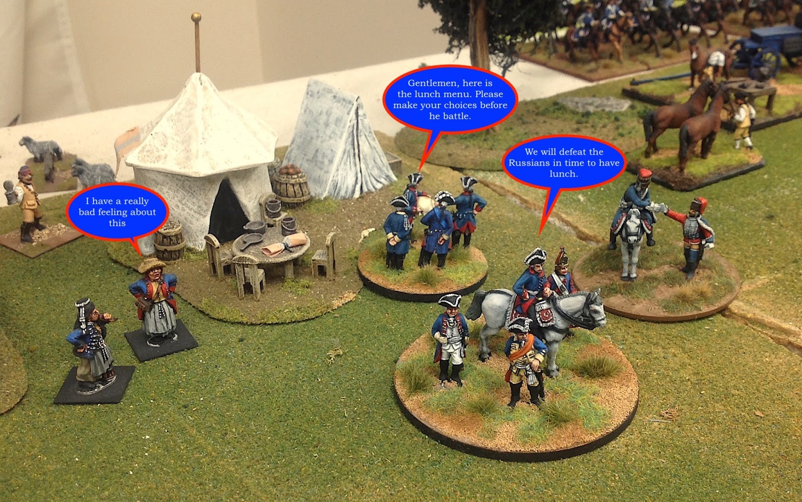 |
| King Frederick and his staff discuss lunch plans before the battle of Zorndorf. Click all pictures to enlarge. |
 |
| Another staff meeting of sorts. Some things never change over time. |
With the 260th anniversary of the battle of Zorndorf approaching in 2018, I have started considering how to recreate the battle on the tabletop at conventions next year. And with some progress being made on the Minden Russian musketeers and grenadiers, I will hopefully have a lot of new figures to paint and display (show off) in the game.
 |
| Map of the battlefield at Zorndorf – historical marker. |
 |
| Another view of the historical marker at Zorndorf. Signs for battlefields are so few in Europe that they really stand out and catch your eye when you do see one. |
So I set up my first stab at creating the terrain for Zorndorf so that I could get a better sense of how much table space I have relative to the number of troops that will be in the game. The layout tips me off about potential spacing problems with the troops or terrain features. The first picture below illustrates the main terrain features at Zornforf.
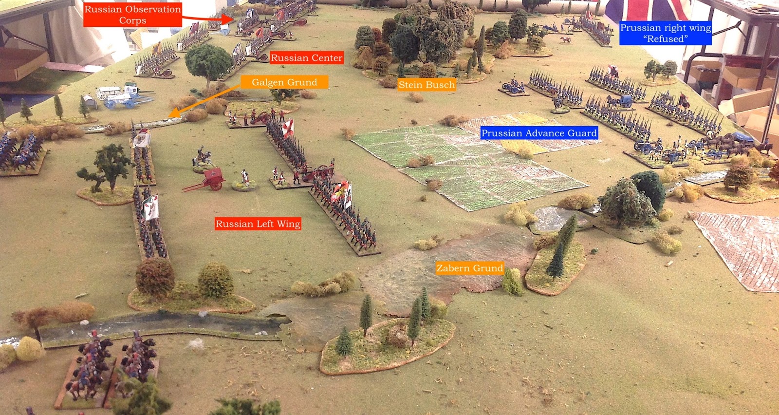 |
| Annotated view of the Zorndorf battlefield. |
Last evening I found some 3/4-inch pink insualtion sheets in my storage area and I cut up some of the pieces so that I could slide them underneath the game mat that I use for all of my games. This creates a nice gentle elevation change that you can hopefully see in the pictures below. Eventually, I will place insulation sheet under the whole table and make cut outs for the various „grunds“ and depressions on the battlefield.
 |
| The view of the Zabern Grund from the Russian right flank point of view looking back towards the Prussian advance guard commanded by Manteuffel. |
I used the Clash of Arms boardgame map for Zorndorf to create my own map on paper and then scale it down to a 12 foot long game table. I can easily extend the table another four feet and add the cavalry action on the Prussian right wing near the Langern Grund terrain feature.
I used the Osprey Campaign book on Zorndorf for my order of battle. To scale things down, I basically substituted a brigade of actual soldiers for one wargame regiment. More about this in a future blog thread.
Compare the picture of the tabletop Zabern Grund with the picture of the actual terrain feature on the battlefield today. This picture, below, was taken in October 2016 while I was on Christopher Duffy’s tour of Frederician battlefields in Germany and Poland.
 |
| A view of the Zabern Grund today. You can see how deep the low ground is on the left, relative to the plowed field. With all of the battlefield smoke during the fight, it is easy to see how von Seydlitz could have hidden his Prussian cavalry and approached the Russian right wing virtually undetected. |
 |
| Prussian 12-pound artillery battery with its left flank resting on the Zabern Grund. You can see the Stein Busch in the background. |
 |
| This picture provides a little sense of the slight elevation difference from the bottom of the Zabern Grund to the top of its embankment. |
 |
| The Galgen Grund separates the Russian right wing into two sections. |
 |
| What is left of the Stein Busch in the Prussian center. In 1758 the wooded area would have covered considerably more ground. |
 |
| The Prussian right wing (refused wing) commanded by Dohna. |
I will post more threads about the development of my Zorndorf game in the coming days and weeks and months. I just wanted to get the ball rolling while things were still fresh in my mind.
Dieser Artikel stammt von einer der angeschlossenen Quellen. Bitte honoriere die Arbeit der Autoren indem du ihren Webseite besuchst.
Artikelquelle besuchen
Autor: Der Alte FritzDer Alte Fritz JournalDer Alte Fritz JournalDer Alte Fritz Journal
Powered by WPeMatico